
Trebević above Sarajevo
The cable car takes you above Sarajevo for a walk on Trebević. The day still needs a route and a way down, including the return ride if that is your plan.
From Sarajevo, Trebević offers a cable-car approach while Bjelašnica has village and lodge walks. For woodland walking and a memorial visit, there is Kozara; Blidinje and Sutjeska bring plateau and lake outings into the choice. The route examples below show how the climb and the return can change the day.
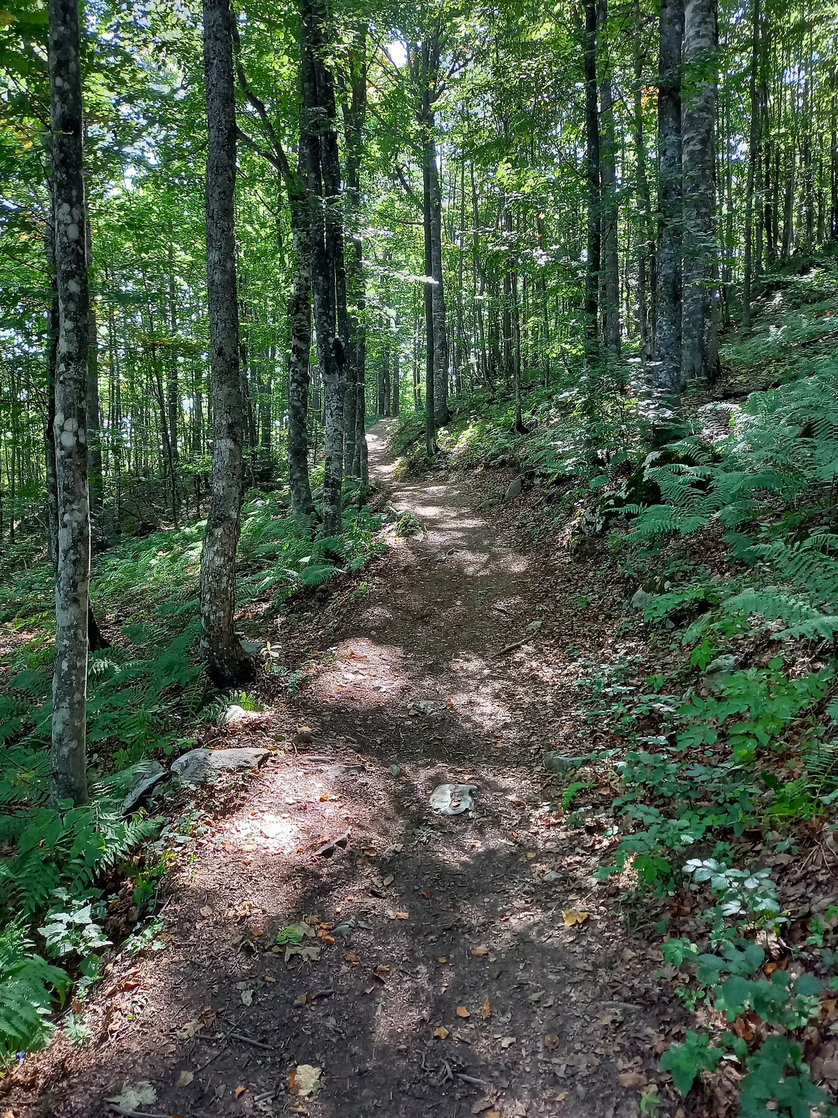
Sarajevo is a base for Trebević and Bjelašnica outings. Allow time to reach your starting village or cable-car station.
Blidinje and Sutjeska need their own route and overnight decision.
Look beyond the distance: the climb and the way back matter too.
Wear suitable footwear and pack layers, food, water and an offline map.
A mountain day can mean a woodland walk, a village circuit or a longer ridge outing. Match the landscape you want with the effort you enjoy; a summit is one choice among several.
The cable car takes you above Sarajevo for a walk on Trebević. The day still needs a route and a way down, including the return ride if that is your plan.
A village start can lead to different walking days. Studen potok, Lukomir and the Stanari route have distinct tracks and climbing demands.
Compare lower landscape walks with a separate Čvrsnica or Vran mountain plan.
The mountain-road approach, lake route and return shape the outing. A Maglić ascent requires its own plan.
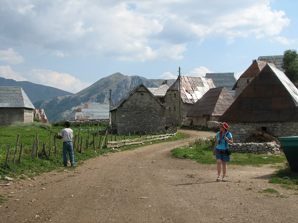
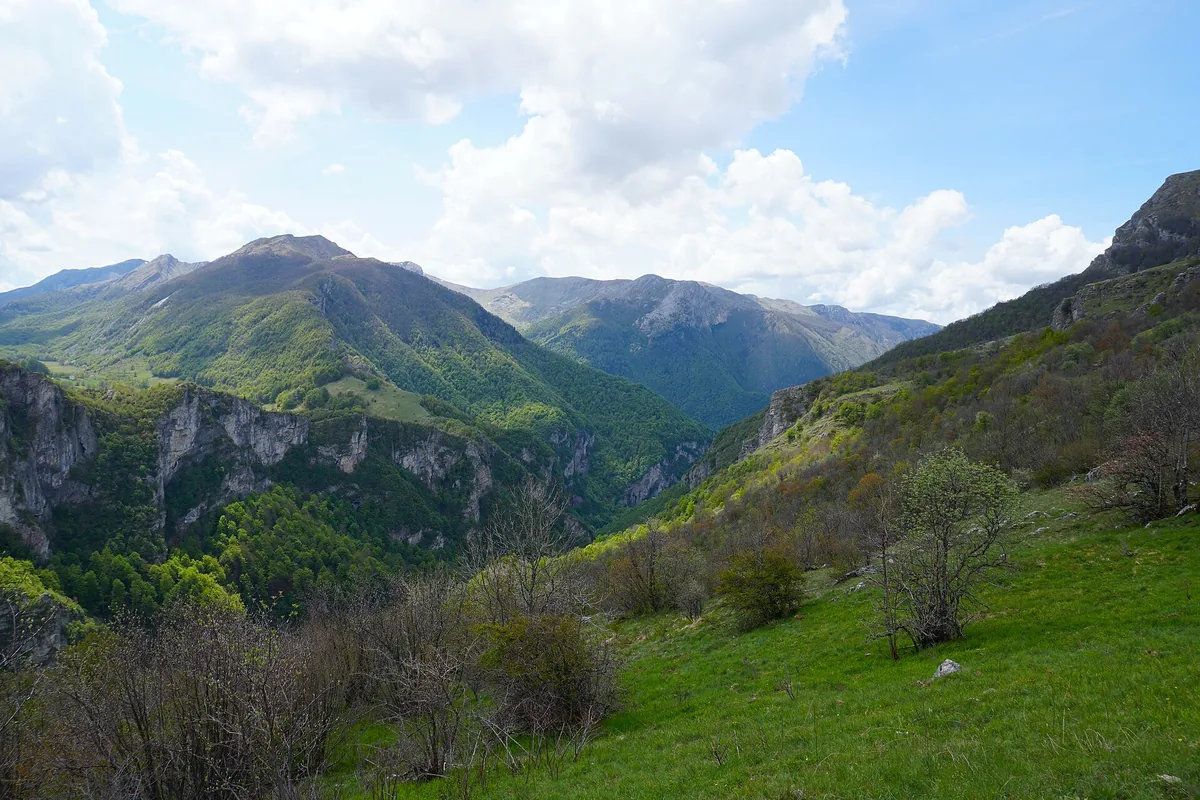
Via Dinarica publishes a 9.6 km loop from Ljubovčići via Bor and Stanari, returning through Podgradina. The listed cumulative ascent is 732 m. That amount of climbing deserves as much attention as the distance when deciding whether the outing fits your experience.
The route brings a mountain-lodge setting into the walking day, with forest sections on the climb. Use the Via Dinarica route description for the exact Stanari track and roadbook, together with current local advice on the path and weather.
Arrange any lodge meal separately and carry the food and water needed for the walk; the day should not depend on an open kitchen.
Kozara National Park describes a route from the Kotlovača lodge towards Poljana through Grabovac and Bilina Kosa. It is 1.8 km one way, with a published walking estimate of 30–45 minutes for that segment. Poljana is the endpoint of the description, rather than the return to the lodge.
For an out-and-back, the walking distance doubles to 3.6 km before any extra exploring. For a walk ending at Poljana, arrange the onward pickup. Decide which version you want before setting the car or meeting point.
If history matters too, give Mrakovica’s memorial and the park’s nature displays their own time. The Kozara guide offers a circuit from Mrakovica for a combined visit.
Think about recent walking experience, cumulative climbing and the slowest walker when selecting the day. A short published time is a guide to one route, with breaks and conditions still affecting your own pace. Bring suitable footwear, layers, food and water, and keep the plan flexible when mountain weather changes.
Landmines and unexploded ordnance remain a risk in parts of the countryside and mountains. Use an experienced local guide for off-road walks, keep to marked trails and avoid shortcuts. Describe the walk you want and the group’s experience. Ask about the current path rather than treating a route map as a report of today’s conditions.
Allow for the journey to your starting village or cable-car station. A loop brings you back to the car or pickup; a one-way walk needs transport from the far end. After a long outing, a nearby mountain stay may be more appealing than a drive back to the city.
For a guided walking day, prepare an experience request with Visit BiH, including the route and your party’s experience. Ask the guide about current trail conditions and whether the walk suits your group.