Skip to content
Plan my trip

Via Dinarica tasters

These three walking days offer a village-and-ridge loop, a forest approach to Stanari lodge and a lower walk around Masna Luka. The first two belong on Bjelašnica; the third takes you to Blidinje. Arrival, the move between areas and departure need their own place in the holiday.

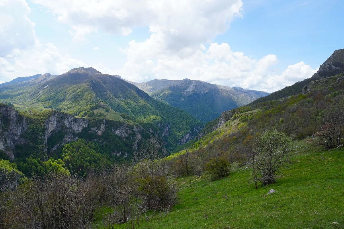
The landscape towards Rakitnica Canyon from Studeni Polje near Umoljani

Route at a glance

  1. Umoljani–Lukomir
  2. Stanari
  3. Masna Luka

Logistics at a glance

Three walking days on Bjelašnica and at Masna Luka in Blidinje.

Arrival, departure and the move between mountain areas need their own time.

The Lukomir loop, Stanari route and lower Masna Luka walk have different climbing demands. The alternative first-day route has less published ascent.

Day one: Umoljani–Lukomir over Obalj

The published Umoljani–Lukomir loop starts at Umoljani, passes Gradina and climbs over Obalj before descending to Lukomir. Its return follows the landscape above the Rakitnica canyon towards Studeni potok and Gradina. Via Dinarica lists 15.1 km, 782 m of ascent and an estimated 5 hours 12 minutes.

This is a substantial hill day, with the village reached after the ridge. Pauses and time in Lukomir sit on top of the walking estimate. A meal needs its own arrangement, and the loop brings you back to Umoljani; a pickup or overnight in Lukomir would be a different plan.
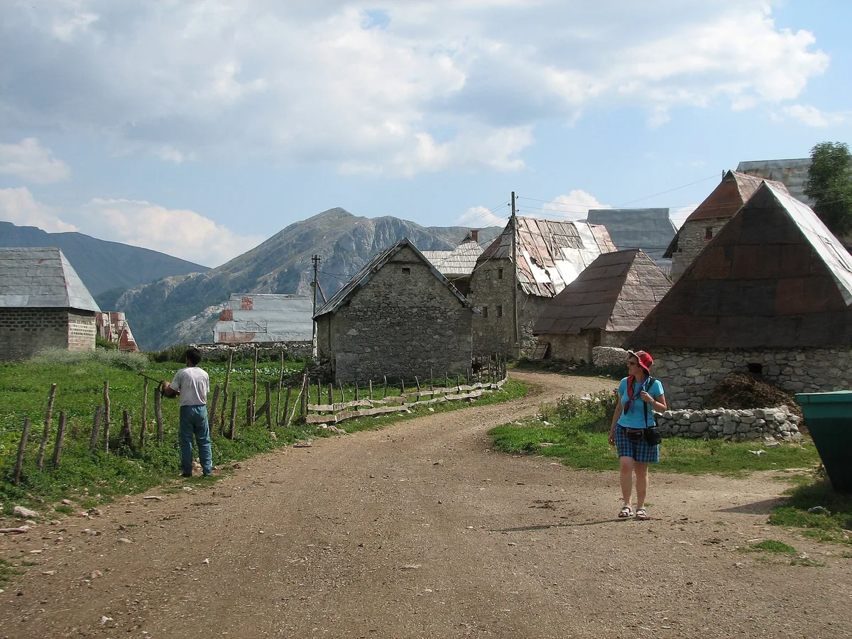
Stone houses in the highland village of Lukomir
Stone houses in the highland village of Lukomir Photo: NH53

Day two: forest and the Stanari lodge

The Stanari route begins at Ljubovčići near Pazarić and climbs via Bor. The published route is 9.6 km, with 732 m of ascent, 736 m of descent and an estimated 4 hours 44 minutes. Its return uses the road towards Podgradina before rejoining the approach via Bor.

The lodge gives the walk a different objective from Lukomir. Although the source title calls it easy, the route rating is moderate and the account describes steep ground. Judge it by the ascent and terrain, not the title. A lodge on the map does not establish an open dining room or an overnight bed.

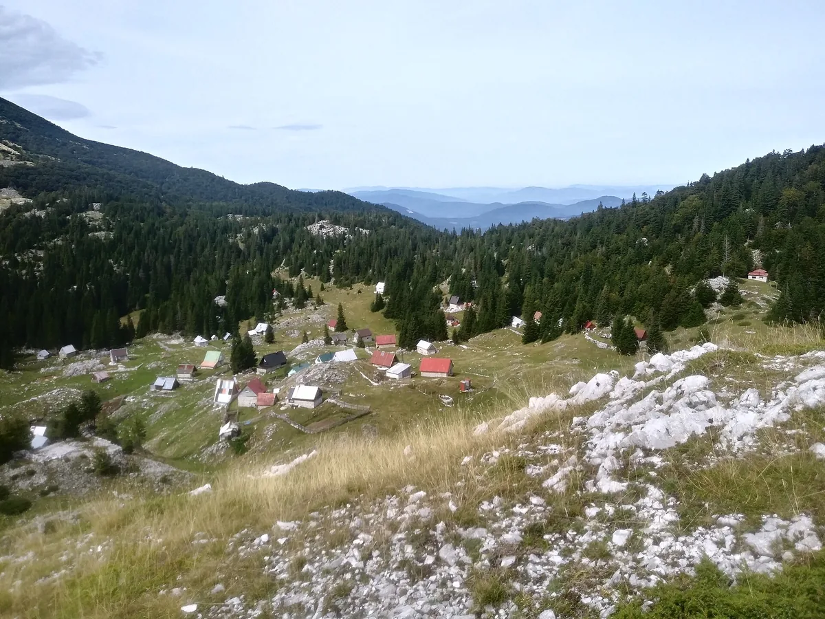
Stanari and the surrounding Bjelašnica mountain landscape
Stanari and the surrounding Bjelašnica mountain landscape Photo: Tarik Alimanović

Day three: Masna Luka’s lower landscape

Move to a base serving Masna Luka in Blidinje for the third walk. Visit Blidinje’s account begins at St Elijah’s church, visits the Jasle spring and lower wetland, and returns through Badnje. It publishes 6.5 km, about 2½ hours and roughly 200 m of height difference; the source gives no total accumulated ascent for this walk.

This is the lower Masna Luka walk, with Čvrsnica around it, rather than the long ascent to Hajdučka vrata. It changes the scale of the third day without removing the need for suitable conditions. The move from Bjelašnica may deserve a separate travel day, particularly after a full second walk.

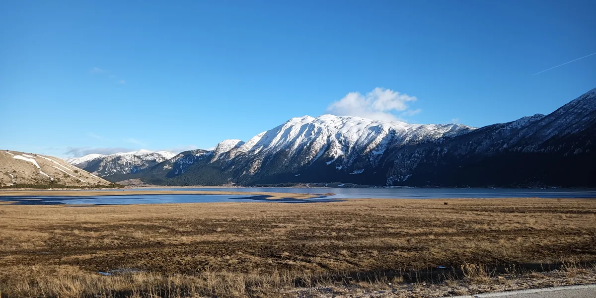
Blidinje Lake and the surrounding mountains
Blidinje Lake and the surrounding mountains Photo: Hienstorfer

A shorter first-day alternative

The separate Umoljani–Gradina–Studen potok return track lists 9.5 km, 306 m of ascent and an estimated three hours. It returns to Umoljani without visiting Lukomir. Use it instead of the Obalj loop when you want less ascent, rather than adding a fourth compulsory walk.

Less ascent does not make a route a safe bad-weather substitute. Snow, ice, poor visibility or a closure may change either choice. A spare day or time in Sarajevo gives the holiday flexibility when a mountain day cannot go ahead.

Give the walks a practical base

A Sarajevo stay or an appropriate mountain lodge can serve the first two outings. For the Blidinje night, the actual address and meal arrangements matter more than a broad mountain label. Put each trailhead, walking finish and overnight address in the transport plan.

Before committing to the walks, the route leader needs to assess your group, the forecast and current snow, ice, closures, road and path access. Mines and unexploded ordnance remain in some rural areas: use an experienced local guide away from paved roads, seek current local advice and keep to the agreed route. Agree equipment and return or cancellation arrangements for the exact tracks. The hiking guide covers the wider preparation; keep the confirmed route and contacts available offline.

For a guided walking day, prepare an experience request with these named routes in mind. If you will drive to the starts yourself, read the car-hire guide before preparing a car-hire request. The hire agreement must permit the actual road approach.